“The gold standard in community response.”
NSW SES Northern Zone Commander — on the Main Arm community-led response, 2022 Northern Rivers floods
20+
Years of frontline international response experience across our leadership
86
Countries of operational risk, logistics and disaster response experience
2022
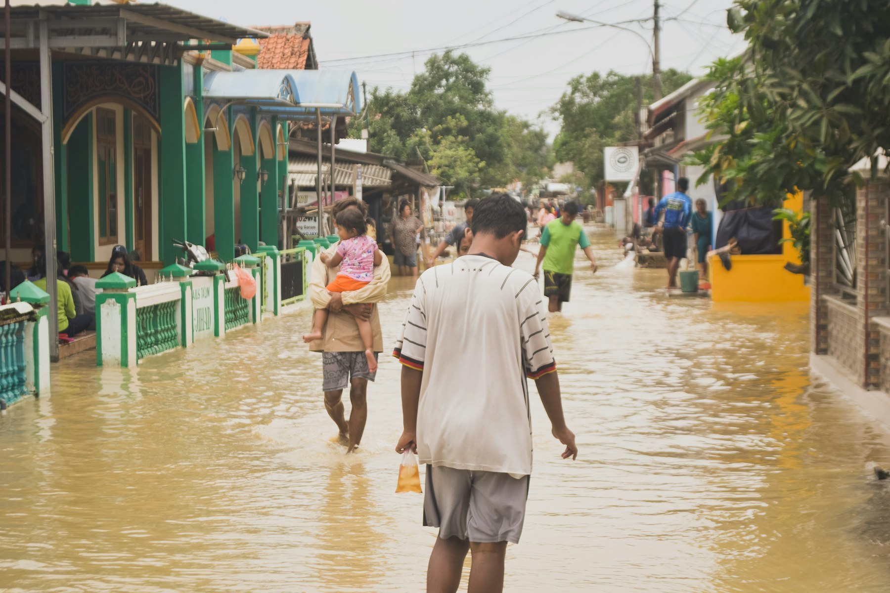
Northern Rivers floods — community-led response at scale
3
Pillars — governance, systems and evidence for community response
Our Services

Advocacy and Governance
Legal and Ethical standards
Functional compliance channels
Scalable Community solutions.

System Design
Advise on bottom-up response models
Digital tools and systems for Emergency Management collaboration
AI, GIS, Predictive modelling and Cooperative Planning

Measurable Metrics
Statistics and Mathematical Modelling
Place-Based adaptability
End User Focussed Risk Communications

Communities are the first responders
In every major Australian disaster, neighbours act before agencies arrive. DSFFS exists to make that capacity safer, better organised, and formally recognised — building the governance, systems and evidence base that lets community-led response work alongside official agencies rather than around them.
Data & Evidence
Open, shareable data is the foundation of community disaster resilience. These are the open datasets we work with and advocate for — free for any community group, researcher or agency to use.
Australian disaster events, major incident reports and the Disaster Mapper, 1869–present.
Geoscience Australia — DEA Hotspots
National near-real-time bushfire hotspot monitoring from satellite observation.
The Australian Government open data catalogue — thousands of openly licensed datasets.
Australian climate, rainfall, river and flood observation data.
The international disaster database — 26,000+ mass disasters worldwide since 1900.
UN OCHA’s open platform for humanitarian crisis data across 250+ locations.
Global active-fire detection data from NASA satellites, updated within hours.
Long-run natural disaster research and charts, all openly licensed (CC BY).
FireSat — a purpose-built satellite constellation delivering open, near-real-time global wildfire data.
Public safety GIS standards, training and shared situational-awareness resources.
Open humanitarian aid, health facility and active-fire mapping from Direct Relief’s research team.
US standards work on community resilience metrics and smart-community data collaboratives (incl. Dr Michael Dunaway’s GCTC program).
Do Something. FFS.
If you hold frontline experience — or a community that needs organising before the next event — we want to hear from you.